Geography
Location
Zhejiang province is located in the southern part of the Yangtze River Delta of the southeast coast of China.
Terrain
The terrain of Zhejiang slopes from southwest to northeast, and it can be roughly divided into six geographical areas: northern Zhejiang plain, western Zhejiang Zhongshan hills, eastern Zhejiang hills, central Jinqu basin, southern Zhejiang mountainous land, southeastern coastal plain and coastal islands.
There are eight rivers in the province, namely the Qiantang River, Oujiang River, Lingjiang River, Tiaoxi River, Yongjiang River, Feiyun River, Aojiang River, Cao'e River and the Beijing-Hangzhou Grand Canal (Zhejiang section).
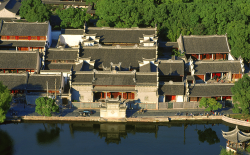
The province is home to the four famous lakes of West Lake in Hangzhou, Donghu Lake in Shaoxing, Nanhu Lake in Jiaxing and Dongqian Lake in Ningbo, as well as the province's largest artificial lake, Qiandao Lake.
Land
Zhejiang is noted for hills and waters.
Its land area is 105,500 square kilometers, 1.1 percent of the whole country, making it one of the smallest provinces in China. Of its land areas, mountains and hills account for 74.63 percent, plains and basins 20.32 percent, and rivers and lakes 5.05 percent.
The water area of Zhejiang is 260,000 square kilometers. There are 2,878 islands with a water area larger than 500 square meters and 26 islands have an area of more than 10 square kilometers, which makes it the province with the most islands in China. Zhoushan Island, with an area of 502.65 square kilometers, is listed as China's fourth largest island.

 play
play